Corridor Economics Logo Corridor Economics Contact Us
Contact Us

Iskandar Malaysia: Growth Patterns and Investment Performance

How the southern corridor became Malaysia’s fastest-growing economic zone and what it reveals about regional development strategies.

9 min read Intermediate March 2026
Iskandar Malaysia development zone with modern buildings and infrastructure alongside water, showing contemporary architecture and urban planning

The Southern Catalyst

Since its launch in 2006, Iskandar Malaysia transformed Johor’s landscape from manufacturing-focused economy into a diversified economic powerhouse. The corridor spans 2,217 square kilometers across Johor Bahru, Pasir Gudang, Kulai, and Pontian — strategically positioned at Malaysia’s southern gateway.

What makes Iskandar Malaysia distinct? It’s not just another industrial zone. The development combines residential neighborhoods, commercial districts, technology parks, and leisure facilities into an integrated ecosystem. Between 2006 and 2024, cumulative foreign direct investment exceeded RM200 billion, with major contributions from Singapore, China, and the Middle East.

But here’s what often gets overlooked — Iskandar Malaysia’s growth didn’t happen evenly. Certain districts thrived while others struggled to gain traction. Understanding these patterns reveals crucial lessons about regional development strategy in Malaysia.

Modern business district in Iskandar Malaysia with glass office buildings, contemporary architecture, and busy commercial activity
Investment charts and financial data visualization showing growth trends, economic indicators, and performance metrics on computer screen

Investment Performance: The Numbers That Matter

Investment flows tell the real story. In 2010, total committed FDI was RM89 billion. By 2020, that figure reached RM176 billion. The growth rate averaged about 7-8% annually, outpacing Malaysia’s overall FDI growth of roughly 5% during the same period.

Three sectors dominated: petrochemicals and refining (35%), real estate development (28%), and information technology services (18%). Petrochemicals anchor the corridor’s industrial base. Companies like Shell and Petronas expanded operations significantly, capitalizing on proximity to shipping routes and existing infrastructure.

Real estate wasn’t just apartment blocks. Developers invested in mixed-use complexes, tech parks, and leisure destinations. Nusajaya emerged as a financial and administrative hub, while Pasir Gudang strengthened its position in petrochemicals processing.

Uneven Development: The Pattern Nobody Discusses

Despite impressive aggregate figures, growth distribution was remarkably uneven. Four distinct zones emerged with dramatically different trajectories.

Nusajaya: The Winner

Administrative center with government offices, financial institutions, and commercial hubs. Investment concentrated here — shopping malls, office towers, luxury residences. Population growth: 2.5% annually.

Pasir Gudang: Stable Industrial

Petrochemical corridor maintained steady growth through existing industries. New refineries and chemical plants arrived, but residential development lagged. Population growth: 1.8% annually.

Johor Bahru: Mixed Results

Urban core benefited from city-center development and cross-border trade with Singapore. Yet suburban areas struggled with infrastructure gaps. Population growth: 2.1% annually.

Kulai: Underperformer

Technology parks planned but adoption slow. Manufacturing facilities arrived yet employment growth disappointed. Population growth: 1.2% annually. Development remained below projections.

These variations matter because they show how regional corridors don’t automatically lift all boats. Nusajaya attracted administrative functions and finance — high-value sectors with spillover effects. Kulai, positioned as a tech hub, couldn’t compete with established tech clusters elsewhere in Malaysia. Geography alone wasn’t destiny.

What Actually Drove Success

Three critical factors explained why some zones thrived while others merely survived. First, existing infrastructure advantages. Pasir Gudang already had petrochemical facilities, port access, and logistics networks. Iskandar’s planners didn’t build these from scratch — they expanded what existed. That mattered enormously.

Second, proximity to Singapore. Johor Bahru’s proximity to Singapore’s financial markets and consumer base created natural advantages. Cross-border business flows remained substantial even after the 1997 Asian crisis. Companies found it efficient to operate on both sides of the Strait of Johor.

Third, strategic sector targeting. Rather than trying to attract every industry, successful zones focused on sectors matching their advantages. You won’t build a petrochemical center in Nusajaya, and you won’t place administrative offices in Pasir Gudang. Clear specialization worked better than generic development.

Aerial view of port facilities and shipping containers at Johor port with vessels docked, showing maritime infrastructure and logistics operations

What Iskandar Malaysia Reveals About Regional Development

The Corridor Model Works — With Caveats

Iskandar Malaysia succeeded in attracting massive investment and creating employment. Over 1.2 million jobs were created directly or indirectly by 2024. That’s substantial. The corridor concept — designating specific regions for integrated development with special regulatory frameworks — does mobilize capital and talent.

But it doesn’t automatically spread benefits evenly. Success concentrates in specific zones with existing advantages or strategic positioning. Planners can’t ignore geography, existing infrastructure, and market proximity. You can’t will a tech cluster into existence through policy alone.

Key insight: Economic corridors amplify existing advantages more than they create new ones. They’re accelerators, not magic solutions for lagging regions.

This pattern repeats across Malaysia’s other corridors. The East Coast Economic Region (ECER) launched around the same time as Iskandar Malaysia. Yet ECER’s investment performance remained significantly weaker — cumulative FDI of roughly RM60 billion versus Iskandar’s RM200+ billion. Why? ECER lacked proximity to major financial centers and faced logistics challenges that Iskandar’s southern location avoided.

The takeaway? Regional development strategy must match corridor capabilities to market realities. You’re not fighting geography — you’re working with it or against it.

Malaysian federal government building with official architecture, representing national economic planning and policy institutions

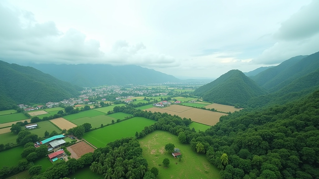
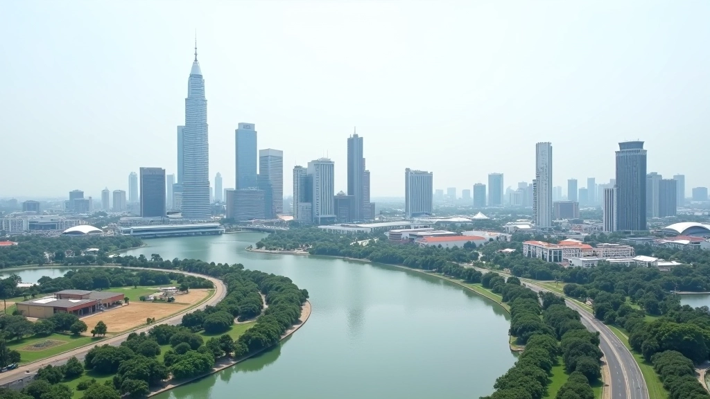
Iskandar Malaysia and the 12th Malaysia Plan

The 12th Malaysia Plan (2021-2025) acknowledged uneven regional development as a key challenge. While Iskandar Malaysia succeeded, East Malaysia’s development lagged significantly. Sabah and Sarawak’s combined GDP contribution remained below 15% despite housing roughly 25% of Malaysia’s population.

The plan allocated increased funding to eastern corridors and rural development programs. Yet the Iskandar Malaysia model — concentrated investment in high-potential zones — wasn’t easily replicated elsewhere. Geography isn’t destiny, but it does matter.

Looking forward, Malaysia’s development strategy faces a fundamental question: Should it continue concentrating resources in proven success zones like Iskandar Malaysia, or spread investment more broadly to address regional disparities? The answer probably lies somewhere between extremes — maintaining momentum in successful corridors while building foundations in lagging regions.

Key Takeaways

  • Iskandar Malaysia attracted over RM200 billion in cumulative FDI and created roughly 1.2 million jobs, making it Malaysia’s most successful economic corridor to date.
  • Growth wasn’t evenly distributed. Nusajaya thrived as a financial hub, while Kulai underperformed despite being designated as a tech zone.
  • Existing infrastructure, geographic advantages, and strategic positioning matter more than policy frameworks alone.
  • The corridor model works best when it amplifies existing strengths rather than trying to create entirely new sectors in underdeveloped areas.
  • Malaysia’s ongoing challenge is replicating Iskandar’s success in other regions without geographic and infrastructural advantages.

Understanding Iskandar Malaysia’s trajectory provides crucial context for evaluating Malaysia’s regional development approach. The corridor demonstrates what concentrated, well-targeted investment can achieve — and reveals the limits of top-down planning when facing geographical constraints.

Disclaimer

This article presents information about Iskandar Malaysia’s economic development, growth patterns, and investment performance for educational purposes. The figures, statistics, and analysis are based on publicly available sources and general knowledge about Malaysian economic corridors as of 2026. Economic data changes regularly, and regional development outcomes depend on multiple factors including policy changes, market conditions, and external circumstances that may shift over time. This content is informational and should not be considered as investment advice, economic forecasting, or official government analysis. For current investment decisions or policy analysis, consult official sources such as the Iskandar Regional Development Authority, Ministry of Finance Malaysia, or licensed financial advisors.